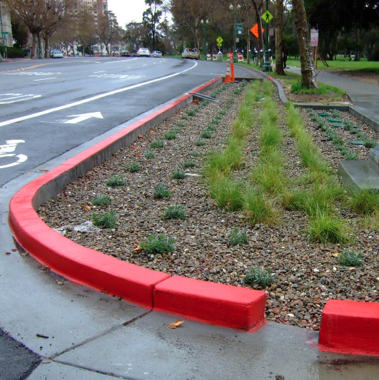
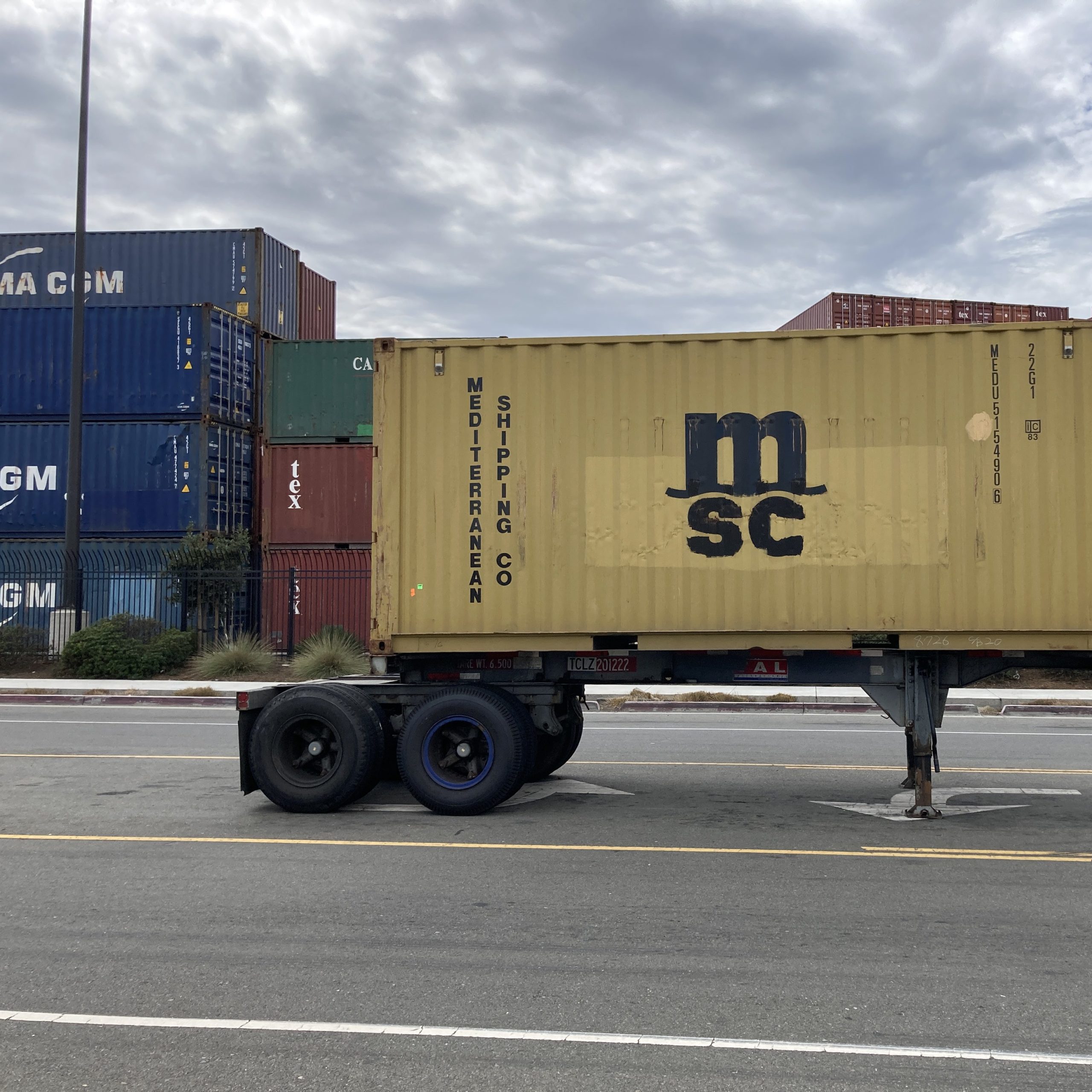
How is air pollution tied to land development?
Despite West Oakland’s ethnically diverse beginnings, over a century of discriminatory policy and development created a racially segregated and environmentally polluted West Oakland. From government-sponsored redlining in the 1930s to freeway construction in the 1950s and urban renewal in the ’60s and ’70s, the neighborhood’s air quality today can be traced to the way land has been zoned and developed over the years.


Explore the 35 land use strategies
Today, Owning Our Air contains 35 strategies addressing land use issues, with a particular focus on targeting industrialized sources of air pollution.
80+ strategies aim to improve air quality across West Oakland by 2030

Get updates
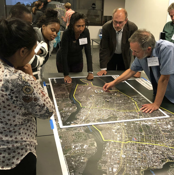
Latest Steering Committee activity
Owning Our Air is overseen by a Steering Committee comprised of West Oakland residents, businesses, air quality experts, and government representatives.
Find meeting summaries and notes, recordings and agendas, and other working documents.